
Council Presses DOT on Dixie Highway as Vision Zero Data Push Nears
Public Safety Committee • LouisvilleNovember 4, 2026
Locunity is an independent informational service and is not an official government page for this commission. All information is sourced from public footage and an analysis of official agendas with the aid of responsible, fact-checked AI. to report an error or omission.
Louisville Metro Council members used a special Public Safety Committee meeting on Nov. 4, 2026, to push for proof that Vision Zero's street-safety work is paying off. The sharpest questions focused on Dixie Highway. The informational briefing from the Louisville Metro Department of Transportation produced no votes, but staff left with a list of follow-up promises, from Dixie Highway crash methodology to whether past traffic calming worked.
- Dixie Highway's 14.5-mile high-injury listing draws scrutiny; state corridor study expected soon
- Citywide speed data purchase order finalized; DOT hopes for a vendor kickoff by year-end
- Councilmembers want crash results, not just speed averages, to defend contested calming projects
- New speed table standard gives Metro-owned mid-volume streets another calming tool
- Committee chair backs automated enforcement; state law allows only work-zone cameras
Dixie Highway Takes Center Stage
Councilmember Jonathan "JJ" Joseph, District 12, spent the longest stretch of the meeting on one road. He questioned how DOT maps Louisville's deadliest corridors.
The basics: Vision Zero dates to a 2022 ordinance. "Metro Council in 2022 unanimously passed an ordinance establishing a vision of zero roadway deaths by 2050," said Claire Yates, Executive Administrator, Louisville Metro Department of Transportation. DOT steers safety money using a "high injury network," a map of the streets where serious crashes cluster. "Our high injury network represents only about 5% of non-interstate miles, but 55% of our fatal and suspected serious injury crashes on our surface streets," said Steph Leonard, Transportation Planner II, DOT.
Why it matters: About 85% of those high-injury miles belong to the Kentucky Transportation Cabinet (KYTC), the state road agency. That includes Dixie Highway, so Metro needs a close partnership with the state to fix it.
Where things stand: "Why is Dixie Highway treated as a 14.5-mile stretch of road versus other roads being looked at in much smaller stretches?" asked Councilmember Joseph. He compared Dixie with shorter listings for Broadway, 7th Street, West Broadway, US 60 and 31W. Joseph said deaths are occurring past the medians and that emergency vehicles struggle to get through traffic there. "Can they track the first responder times with your data?" he asked.
Yates said she would check the methodology report and ask emergency services about response times. Leonard said Dixie was already broken into segments, and each segment rose to the top on its own through crash-cost weighting.
The other side: Staff pointed to existing work on the corridor. Yates cited a Dixie Highway Master Plan from roughly 10 years ago and an active state project. Transportation Director Phil Bell said KYTC is about to start a corridor study. "You can't chase crashes. So you have to look at the corridor itself," Bell said.
Councilmember Rui asked whether past spending on Dixie calming had paid off. "Do we have any data on how well that's worked?" she asked. Staff said they would reach out to her office.
Decisions and stakeholder impacts: No action was taken. South-end residents and drivers along Dixie have the most at stake. So do first responders who navigate the corridor. Because the road is state-owned, KYTC's upcoming study, rather than Metro's budget, will likely shape the next round of changes.
What's next: DOT owes Joseph answers on segmentation and response times. It owes Rui data on whether past Dixie calming was effective.
Speed Data Arrives, but Can It Prove Results?
Why it matters: Traffic calming is among the most polarizing issues council members handle. Louisville is about to get its first citywide speed trend data, and members want it to settle arguments.
Where things stand: DOT is carrying out a speed management plan finalized in March 2025. The plan drew partly on a survey of more than 1,400 people, in which 85% said Metro should do more to reduce speeding. The rollout includes:
- A monthly speed management steering committee and a DOT speed management program created in 2026
- Speed probe data funded by Metro Council in FY27, with records reaching back to October 2024
- Two mobile speed feedback trailers
- An update of the Complete Streets design guide that adds road context classifications
Louisville's Complete Streets policy was adopted in 2008 and amended in 2019 and 2022. It includes annual performance measures and a coalition of partners.
The data excited Councilmember Ginny Mulvey-Woolridge, District 24. "I'm a data person, and so that gets me really excited," she said. She asked whether the data could evaluate speed humps. Leonard said the purchase order was finalized this week. "Ideally, by the end of the year, we'll have that kickoff meeting and be able to start using the data," Leonard said.
Staff also flagged limits. Yates said DOT can run specific traffic studies where the software lacks precision. Bell said fair before-and-after comparisons require equal time periods, which means waiting about two years after a project is installed. He added that the contract works better for collector roads than for small residential streets.
The other side: Councilmember Owen said projects on Frankfort Avenue, Lexington Road and Pee Wee Reese generated anger. He asked for before-and-after crash history and a regularly updated crash and fatality dashboard for right-sized roads. "Right-sizing" means reconfiguring travel lanes to slow traffic. "We do this because the data supports it," Owen said. He argued that average speed changes alone won't win over skeptics: "I think crash data and injury data is more compelling."
Leonard said the speed data allows before-and-after analysis for projects since October 2024. A Safer Streets and Roads for All grant funds an epidemiologist to link crash, trauma and hospital data. She also floated partnerships with University of Louisville traffic engineering programs.
Decisions and stakeholder impacts: DOT made no commitment to a public dashboard. Council members defending calming projects to angry constituents gain new tools, but the most persuasive evidence, crash and injury outcomes, is still years away for most projects.
What's next: Watch for the vendor kickoff, which DOT hopes to hold by the end of 2026. DOT's presentation (file 26-1752) outlines the full plan.
Speed Tables Fill a Calming Gap
The basics: Speed tables are flatter cousins of speed humps. Yates said tables rise to a 3-inch apex, compared with 3.5 inches for residential humps, and they suit mid-range collector streets.
Where things stand: Louisville has historically not used speed tables. "We developed a standard drawing and installation criteria for speed tables," Yates said. The tool can be used only on Metro-owned roads.
"Can you talk about where you are recommending those be placed?" asked Councilmember Rui. She named Tenney as a candidate. Council members have reported streets like Tenney where neither stop signs nor speed humps qualify. Yates said raised intersections are pricey, and raised crosswalks raise drainage and cross-slope issues.
Rui also asked about speed limit sign spacing. The plan calls for evaluating whether signs every quarter mile are feasible. On the current standard, "We'd have to get back to you on that," Yates said.
What's next: DOT owes Rui an answer on sign spacing standards.
Cameras Return to the Conversation
Why it matters: Staff conceded that design alone won't hit the 2050 goal. "We can't engineer us to zero," Bell said. He said enforcement, education and emergency response are needed alongside engineering.
Where things stand: Owen asked whether talks with KYTC about camera enforcement, including red-light cameras, are progressing. Bell said a three-year push for fully automated enforcement, with civil citations sent by mail, did not pass. Lawmakers did approve work-zone cameras that lead to a trooper stopping drivers and issuing a $500 ticket. Bell said speeds on I-64 have dropped since.
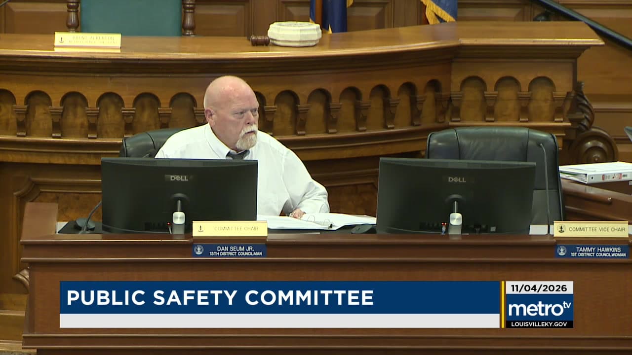
Committee Chair Dan Seum Jr., District 13, shared a personal experience with a red-light camera. He said he and others testified in Frankfort. "I believe in automated enforcement," Seum said, adding that he sees it as a way to slow people down and save lives.
Decisions and stakeholder impacts: Under state law, Louisville can't deploy mailed automated tickets on its own. Any expansion beyond work zones runs through Frankfort.
Minor Items
- Yates invited residents to the fifth annual World Day of Remembrance for Road Traffic Victims on Sunday, Nov. 15, at 4:00 at TARC's Union Station.
- The committee adjourned without further business. No motions or votes were taken.
Looking Ahead
The Public Safety Committee's next regular meeting is Wednesday, Nov. 18, at 4:00.